
Map
Montaña Palentina, how to get there.
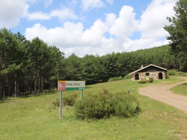
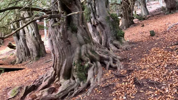
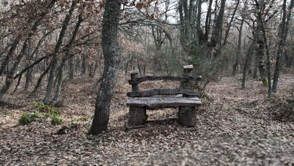
We are located in the north of the province of Palencia. This magnificent location provides us with an extraordinary panoramic view of the beautiful and unique landscape of the Palencia Mountain in its entirety. Large bodies of water, with four reservoirs belonging to the Pisuerga and Carrión systems, forest masses of different tree types, and a diverse fauna and flora that includes bears, deer, roe deer, and wild boars, as well as native flowers, low mountain vegetation, and even in some elevated points, we find the presence of some orchid species.
The means by which you can access different points of the Palencia Mountain are, in addition to private vehicles, the La Robla or León-Bilbao train, at the stations of Guardo, Santibañez de la Peña, Villaverde-Tarilonte, Castrejon de la Peña, Vado Cervera, Salinas de Pisuerga, Cillamayor, and Cordovilla de Aguilar. On the RENFE line, the station of Aguilar de Campoo.
By bus, the buses from the Bilbao-León or Palencia-Guardo, Palencia-Aguilar de Campoo lines have stops in practically all the mentioned localities (Check with transport companies).
The means by which you can access different points of the Palencia Mountain are, in addition to private vehicles, the La Robla or León-Bilbao train, at the stations of Guardo, Santibañez de la Peña, Villaverde-Tarilonte, Castrejon de la Peña, Vado Cervera, Salinas de Pisuerga, Cillamayor, and Cordovilla de Aguilar. On the RENFE line, the station of Aguilar de Campoo.
By bus, the buses from the Bilbao-León or Palencia-Guardo, Palencia-Aguilar de Campoo lines have stops in practically all the mentioned localities (Check with transport companies).
Map
Palentina Mountain Tourism
Calle El Pozo, 8 34879 Villanueva de Arriba Palencia Spain
Form
Please fill out the form
See